
Intent
At Holy Family Primary School, we believe that Geography helps to provoke and provide answers to questions about the natural and human aspects of the world. Our children are encouraged to develop a greater understanding and awareness of the world, as well as their place in it, and to experience the beauty, awe and wonder of God's earth. The geography curriculum enables children to develop knowledge and skills that are transferable to other curriculum areas, and which can and are used to promote their spiritual, moral, social and cultural development. Geography, by its very nature, is an investigative subject, which develops an understanding of concepts, knowledge and skills. At Holy Family, we seek to foster in our children a curiosity and fascination about the world and its people which will remain with them for the rest of their lives.
Implementation
Geography at Holy Family School is taught each term throughout the year so that children can achieve depth in their learning. Children have a lesson every other week, alternating with History, to help pupils build cumulative knowledge towards agreed milestones, in line with the National Curriculum. We employ the Chris Quigley essentials to ensure that our curriculum is progressive throughout each year group across the school and as a tool for continual retrieval of information in a bid to further embed learning. Additionally, cross curricular outcomes in geography are specifically planned for, and utilised, in a number of different subject areas.
Impact
We believe that our lessons promote children’s inquisitiveness about the world around them whilst building a respect and interest in other cultures. Children will have a good knowledge of the physical and human aspects of Geography and will be able to use sources such as fieldwork, maps, globes and data to deepen this knowledge. Outcomes in children’s books, evidence a broad and balanced geography curriculum and demonstrate children’s acquisition of identified key knowledge. Lesson objectives are identified at the beginning of every lesson and children review their successes against them. It is our hope, that through the implementation of a rich and varied curriculum, we may produce children that go on to become informed and inspired global citizens of the future.
Geography Long Term Plan
Geography skills progression
Chris Quigley Lenses for Geography
When studying Geography at Holy Family, we look through the following lenses to develop our skills as Geographers.
Outdoor learning with the Wildlife Trust
This term, Year One have been working with Sara from the Wildlife Trust. They have been looking at many of the physical features that we are fortunate to have on our school grounds and the wildlife that they attract. In groups children made nests for hedgehogs using branches and twigs that they collected. Binoculars were used to observe the birds that settle in our trees. In addition, children used colour wheels to identify the different shades of leaves and branches present during the Winter months. Photographs were taken of their findings so that they can compare them with the shades of the same examples that they hope to find in Spring.

Geography games!
How good are you at remembering Geography facts? Test yourself with these flash games! Can you beat other members of your family?

Fun Geography activities to do at home!
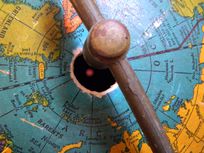
Find Your Birthday Coordinates
Use the month for latitude and day for longitude. For example, if your birthday is November 26, your coordinates could be 11°N, 26°E. Or, you can make four sets of coordinates for your birthday, depending on whether you use north or south latitude, or east or west longitude. Print a world map and plot your birthday coordinates. What would it be like to have a party there?
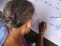
Make a Map
Look at an article in a newspaper, magazine, or online. How might information in the article be represented on a map? Create a map showing that information.
Mark Latitude and Longitude
Whenever you read a magazine or newspaper article or watch a video find the latitude and longitude of the location in which the focus of the article takes place. On a world map, mark the locations. See how long it takes until you have marks in most countries.
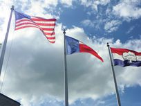
Make a Flag
Country flags are designed to represent the history or ideals of a country. Design a flag that represents you—you can model it on your heritage, favourite activities, sports, animals, or family.
Make an Earth Pendant or Light Catcher
Trace the earth onto a piece of acetate or clear film, using coloured cellophane for land and water, and hang it from your window with string.


